Watch: Mapping the world
Explore globes and a map of the world with Sue Venir.
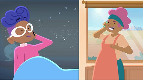
Oh hello! I’m just working out where I am by using this world, er…globe to give it its proper name.
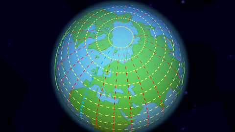
A globe is a model of planet Earth, showing how it looks from space. This one shows all the countries of the world, almost 200, including the UK.
It shows all seven continents, Europe, Africa, North America, South America, Asia, Oceania and Antarctica. Although I love my globe, it’s a bit awkward to carry around.
Instead, it’s much easier to use a map or a book of maps called an atlas. An atlas has pictures of the same places as the globe but they are spread out over the pages, which allows you to see the world in more detail.
This does have its drawbacks, as the Earth is round, but pages are flat, so what we see on a map is slightly distorted.Globes and maps are how we’ve seen the world for hundreds of years.
They used to be hand-drawn to scale, from careful measurements of the distances and angles between landmarks.
But these days you can use apps on your computer or tablet. They’re even more detailed because they use photos taken by satellites and drones. The photos are put together like a huge jigsaw puzzle, which means we can view whole continents or even people’s back gardens.
However you look at the world, whether it’s with a globe, atlas or computer, it will always be fascinating and beautiful.I’m ok! I’m ok!
What is a globe?
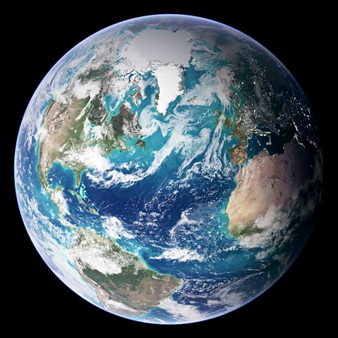
From space, the Earth looks like a sphere, or ball.
A globe is a model of the Earth. It shows what the Earth looks like from space.
Some globes show how the land is divided into different countries. There are around 200 countries.
All the countries on our planet are found in seven different continents:
- Europe
- Africa
- North America
- South America
- Asia
- Oceania
- Antarctica
Maps and atlases
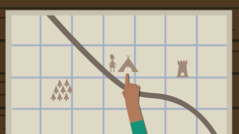
People use maps to find places. They are much easier to carry than a globe and can have more detail to them.
Maps can show the whole world, a single country or even a single town or village.
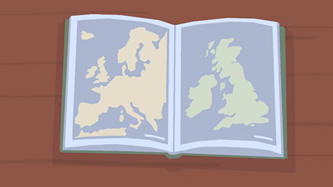
A map can be on its own on a single sheet of paper.
In the past, maps were hand-drawn by using careful measurements of the ground.
Several maps can be put together in a book called an atlas.
How do satellites make maps?
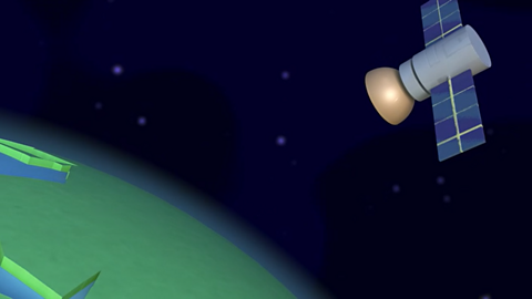
- Today, computers and tablets show aerial photographs.
- These are photographs taken from space by satellites and joined together to make very detailed images.
- Some aerial photographs are so detailed that you can zoom in and see a bird's-eye view of where you live!
Activity: Quiz – Mapping the world
SATs preparation resources. activity
Get ready for the SATs papers with videos, activities, quizzes and games to refresh your knowledge and practise your skills.
More on Geography skills
Find out more by working through a topic
- count7 of 10
- count8 of 10
- count9 of 10
- count10 of 10